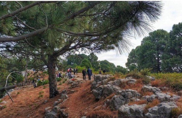
Walking Trails in Islamabad
Walking trails in Islamabad: Islamabad is one of the fortunate capital cities in the world to enjoy a such close connection to nature having various walking trails. The city is blessed with a lot of natural beauty and flora. This includes the pathways that lead up to the top of the stunning Margalla Hills in Islamabad’s foothills routes for hiking in Islamabad.
Consider how far you want to hike before you start. This depends on the site’s location and the day’s weather prediction. Packing as little as possible while choosing that little wisely is one of the principles of hiking.
Walking trails in Islamabad
So begin by knowing about the location, then use this guideline for your hike once you’ve made a decision:
- Trekking bag
- Proper clothes for the climate
- Suitable hiking footwear or shoes for the area
- Plenty of snacks, especially protein shakes,
- A lot of water
- Maps and compasses are forms of navigational aids.
- Medical equipment
- Cables and a rechargeable battery
- Knives or multiple tools
There is a huge list when discussing Pakistan’s Top Hiking Trails. The Capital Development Authority (CDA) maintained several trails at Margalla Hills, including:
Hiking Trail 1 (Sector E8 & E9)
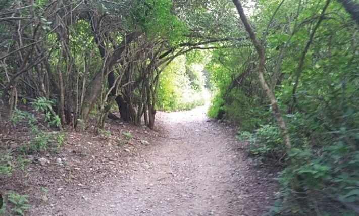
The trail begins at the Margalla Hills, which are located behind Sectors E-8 and E-9 in Islamabad. The Himalayan Mountain Range continues in the Margalla Hills, which feature a rich landscape. Numerous animals and birds find refuge in the mountains’ forest and herbaceous vegetation. Many visitors and residents use the trails on the Margalla Hills to go hiking as a healthy exercise and to enjoy nature. In about two hours, you will arrive at Pir Sohawa Highway. You must be fully committed to this route to reach the top. In Islamabad, the trail rises to the peak of Pir Sohawa. Taking the primary road for another 20 minutes. At the top, you will find yourself in the breathtaking view.
Hiking Trail 2 (Damn-e-Koh Zoo)

The Trail-2 that leads up to Damn-e-Koh is the shortest of the six paths that have been officially designated. It has two separate trail entrances. The first is situated next to Marghazar Zoo on a tiny dirt road. Alternately, Pir Sohawa Road’s beginning, just past the Trail-4 parking area, has a clearly signposted trail.
No issue which initial location is selected, trails eventually converge in the middle and lead to the Damn-e-Koh finish line. It takes about 45 minutes to ascend the short but steep track. If one is searching for a quick Sunday hike with the company, it can be a suitable option. The trail continues over Damn-e-Koh and extends in the direction of Cactus Ridge. The 1.4 km walk to Cactus Ridge begins directly across the street, opposite the main parking lot for Damn-e-Koh.
Hiking Trail 3 ( Sector F-6)
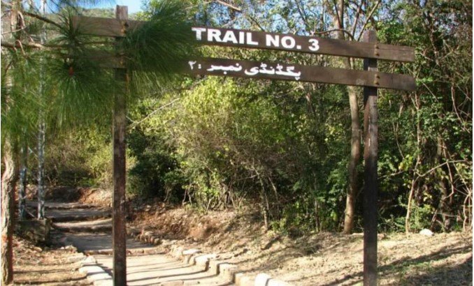
Islamabad’s most well-known and historic hiking trail is Track 3, which ranges from 615m to 1177m in height. It begins at sector F-6 of Margalla Road. The trail’s steep hills make it somewhat difficult. The path will take you to, a 30- to 50-minute route that climbs to the viewpoint.
After passing the viewpoint, you can travel another relaxing 45 to 60 minutes to arrive at the Pir Sohawa, where you can select between The Monal and La Montana for dining. It is a roughly one hour and thirty-minute walk overall. The viewpoint provides a stunning perspective of Islamabad, and practically all the city’s notable structures, monuments, and pathways are visible from here with the unaided eye. Many mountain-clad families consider View-Point to be the Trail-3’s conclusion.
Hiking Trail 4(Dhoke Geevan Loop)
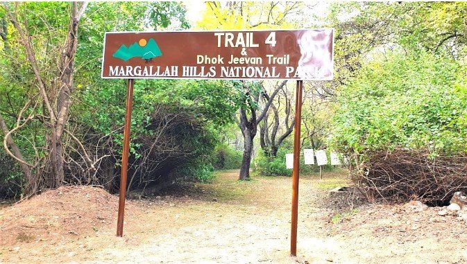
Check out Trail 4’s two variations, Trail 4A, and the main trail, for a medium-to-difficult hike. The Airblue crash site and memorial are nearby on this walk. Trail 4 provides breathtaking views of the Twin Cities and access to Monal Restaurant. It also connects Trails 3 and 5. The trail is in E-7 and is easily accessible via Margalla Road, Faisal Avenue, and 9th Avenue.
Hiking Trail 5 ( Dera Janglan)

Trail 5 is easy compared to other trails, but it is long, making it more daring for hikers. “Trail 5” and “Trail 3” cross each other in a straight line and Trail 5 runs parallel to Trail 3, so you can begin there as well. The paths cover a 5.08km route with a total ascent of 534m, beginning at an elevation of 620m and ending at 1129m. The trail is rather smooth for the first several km, and then you come across a freshwater creek and a lovely sitting place. The excursions come to a breathtaking end at Pir Sohawa, a hill from which you can view Islamabad.
Hiking Trail 6 ( Chak Jabbi)
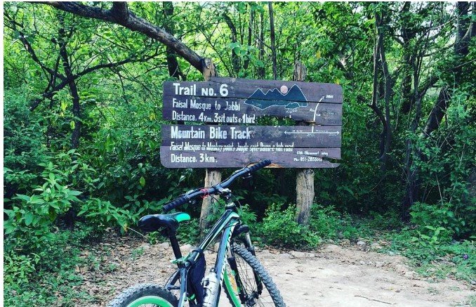
One of the most recent trails to receive official recognition and open access to the public is rail-6, also known as the Chak Jabbi Trail. The entrance is close to parking at the back of the Faisal Mosque. It moves up to the village of Jabbi and is roughly 4 kilometers long. This path slopes slightly while traversing a dense jungle. It takes you to a stunning water spring with dates and palm trees surrounding it after about 30 minutes from the starting place. Additionally, it connects to the Trail-4 nearby and rises to the parking area at Pir Sohwa Road. The entire trail may be completed with family in around three hours and has been properly signposted and well-maintained.
Makhniyal Second Ridge Trail
The Makhniyal Second Ridge Trail is the last hiking route on the list. A 2- to 2.5-hour walk gives rich and spectacular views of the highlands besides being covered with pine trees. As you continue down the path, you reach a location from where you can see both the Rawal Dam and the Khanpur Dam, two Pakistani famous dams.
Read More about Reina Boutique Hotel


